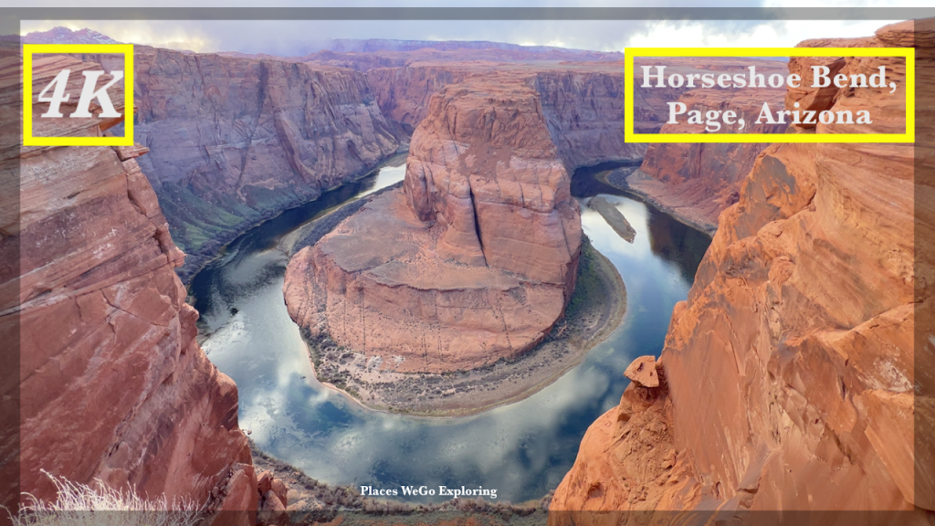
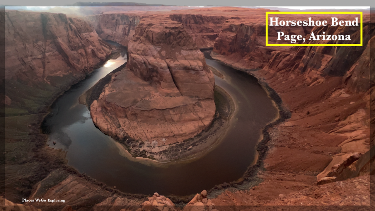
Landmark: Horseshoe Bend
Sculptor: Nature ❤️
Nickname: East Rim of the Grand Canyon
Interesting Facts: The Colorado River created a roughly 1,000 ft (305 m) deep, 270º horseshoe-shaped bend in Glen Canyon, about five million years back.
Distance: 1.5 mile (2.4km) out & back from the parking to the overlook
Fee: $10 per car
City: Page
Reservation Area: Yes, Navajo
State: Arizona
Country: USA
Referred to as the “East Rim of the Grand Canyon”, Horseshoe Bend is a horseshoe-shaped incised meander of the Colorado River located near Page, Arizona. It is located 5 miles (8 km) downstream from the Glen Canyon Dam and Lake Powell within Glen Canyon National Recreation Area, about 4 miles (6 km) southwest of Page.
It is accessible via hiking a 1.5-mile (2.4 km) round trip from a parking area just off U.S. Route 89 within southwestern Page. The land south of the Bend’s parking area, trail, and overlook are on the Navajo Nation territory. Horseshoe Bend can be viewed from the steep cliff above.
The overlook is 4,200 feet (1,300 m) above sea level, and the Colorado River is at 3,200 feet (1,000 m) above sea level, making it a 1,000-foot (300 m) drop. This beautiful view exists thanks to something called an ‘entrenched meander’. Around six million years ago, the area around Horseshoe Bend was much closer to sea level. The Colorado River, following the path of least resistance, meandered and became trapped when the Colorado Plateau uplifted about five million years ago. Over time, the river water cut through exposed sandstone, forming the 305-metre-deep, 270-degree horseshoe-shaped bend.
Earlier days, it was popular among the locals but over the last few decades thanks to the social media, this place has gained so much popularity and soon become the darling of the social Media. The sunset and sunrise over the overlook are something really a great experience.
Happy Hiking & Exploring! 😊
Our trip on You Tube:


